 Prioritize...
By the time you are finished reading this page, make sure that you understand when the standard hourly observations are collected and for what hour a particular observation qualifies based on its time stamp.  Read...
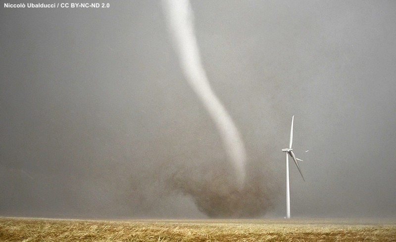
Forecasters worth their salt routinely use recent history as the basis for predicting the future. That's because past weather can, and often does, offer clues to how the atmosphere will evolve. During winter and early spring, for example, powerful Pacific storm systems that make news on the West Coast by spawning heavy coastal rains and heavy mountain snows invariably make news a few days later when they arrive over the Middle West, generating fierce thunderstorms that spawn tornadoes.
However, even in more benign weather patterns, conscientious forecasters routinely study weather conditions to their west, hoping to extrapolate these conditions into the future to get a more accurate beat on the local weather forecast. There's a big payoff to forecasters who are sticklers for such details. Indeed, the wealth of surface observations taken hourly across the nation often tips the atmosphere's hand and gives meteorologists a leg up on important clues to the weather forecast.
At all U.S. airports, standard weather observations are taken once each hour between 50 minutes past the hour and the top of the next hour. For example, a weather observation taken between 2:50 p.m. and 3:00 p.m., qualifies as the 3:00 p.m. observation. When weather conditions rapidly change, however, you'll often see special observations, known as SPECI reports. A "special ob" taken at 1:15 p.m., for example, falls under the umbrella of the 1:00 p.m. observation. In general, all observations time-stamped between (hh-1)45 to hh44 are part of the hh observation cycle (hh represents any given hour).
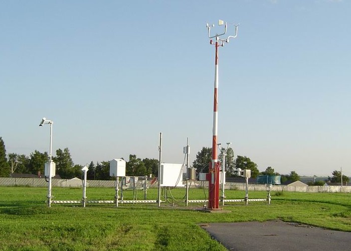
As you might expect, there's an avalanche of surface weather observations each hour from all the airports across the country. In order to simplify life and create easy-to-read weather maps, the National Weather Service organizes hourly observations onto templates called station models. In the remainder of this lesson, you'll learn how to decode surface station models (and thus determine local weather conditions). However, before we tackle the rules and conventions for decoding station models, you'll need to know how weather observers all over the world synchronize their watches in order to standardize the times that weather observations are taken.
 Explore Further...
Here's the most recent surface map of station models for the contiguous states. Please note that the map was purposely designed to include a limited number of station models (by showing all the station models, the map would appear too cluttered). If you want to skip ahead and try decoding a few on your own, check out this explanation on decoding station models from the Weather Prediction Center.